Two Cyclones To Impact Louisiana
Two tropical storms have their eyes on Louisiana.
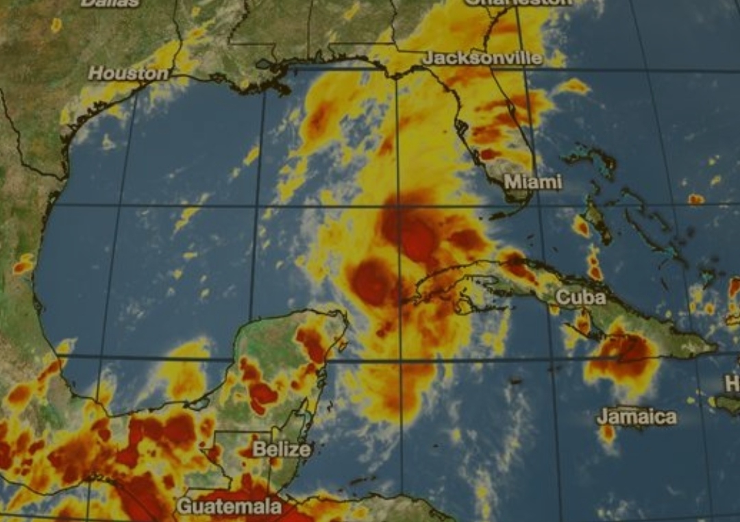


First, Tropical Storm Marco has shifted east of where it was initially anticipated to be. Since it had less interaction with land, it has strengthened.
Winds are now at 65 mph. It is 75 miles west-northwest of the western tip of Cuba.
Marco should continue to strengthen, and is anticipated to become a hurricane tonight or tomorrow.
It should still be near or at hurricane strength when it makes landfall.

There will be some wind shear, or the rapid vertical change in wind speed or direction, that will strengthen as Marco nears the Gulf coast. However, the NHC says that "with the shift in the forecast track, now there may not be enough time for Marco to weaken below hurricane intensity before it reaches land."
The second storm is Laura, now with 50 mph winds. It is now 85 miles east-southeast of Santo Dominico, Dominican Republic.
Laura should move over Hispaniola, and that will limit any strengthening. However, once it moves into the Gulf of Mexico Monday night and Tuesday, strengthening is expected.
It should be at hurricane strength when it makes landfall Wednesday.
IMPORTANT REMINDER: MAJOR AND DRASTIC SHIFTS IN INTENSITY AND TRACK ARE POSSIBLE. Marco has always shifted dramatically to the east, and more shifts are possible.
Storms could also intensify far past expectency, especially Laura.
The disturbance mentioned last week is no longer expected to develop.
Comments
Post a Comment
Leave a comment for us here...