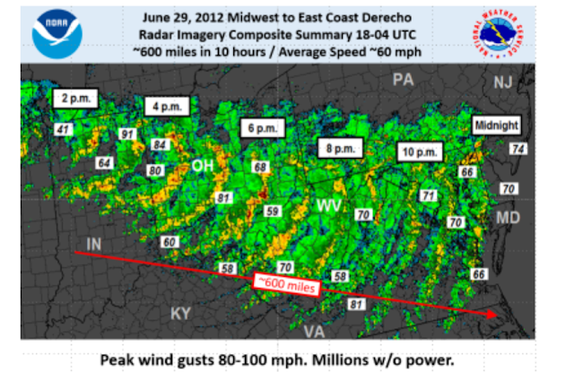
It has now been 10 years since a derecho ripped through several states in the Mid-Atlantic, including Maryland, on June 29, 2012. The damage path was over 600 miles long.
On June 29, 2012, a devastating line of severe thunderstorms known as a derecho (deh-REY-cho) moved east-southeast at 60 mph from Indiana in the early afternoon to the Mid-Atlantic region around midnight. The states with the most significant damage included Indiana, Ohio, Kentucky, Pennsylvania, West Virginia, Maryland, Virginia, Delaware, New Jersey and North Carolina, as well as Washington, D.C.
Winds associated with the derecho were commonly above 60 mph with numerous reports of winds exceeding 80 mph. Some areas reported isolated pockets of winds greater than 100 mph. An unofficial wind gust of 117 mph was reported from a wind turbine in Putnam county Ohio. The derecho resulted in 13 deaths, mainly from falling trees.
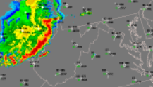
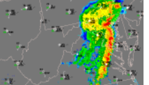
The following two images are snapshots of the radar from that day.
More than 4 million customers lost power, some for more than a week after the derecho moved through, during a record setting heatwave. An additional 34 heat-related fatalities followed in areas without power.
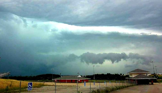
A plane was flipped over at Tipton Airport in Anne Arundel County, Maryland. Below are a few damage photos from along the path of the storms.
About Derechos
So what exactly are derechos?
Derechos are a large, organized band of thunderstorms, and must have a damage path 400 miles long and 60 miles wide, with winds 58 mph or greater along most of its length, and several 75 mph or greater wind gusts in different locations.
Western Maryland only gets a derecho once every 2 years, on average. East of I-81 in Maryland, it happens once in every 4 years. The Baltimore area has gotten 9 derechos since 1980.
They are most common May, June and July. In fact, 63% of derechos occur in these three months.


